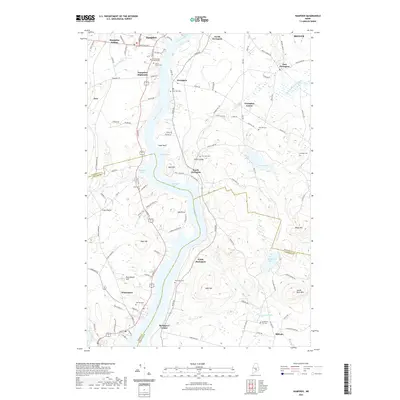
2021 Map of Hampden
USGS Topo · Published 2021About this map
The Penobscot River serves as the central artery for this mid-coast Maine landscape, defining the boundaries and development of towns like Hampden and Orrington. The map reveals a dense network of riverside settlements and agricultural centers, including Hampden Highlands, South Orrington, and Winterport. These communities are anchored by numerous historic burial sites such as the Old Burying Ground Cem and Locust Grove Cem, providing significant points of interest for genealogical research.
Find a feature on this map
115 named features on this map. Tap any name to fly to it.
Don’t see what you’re looking for? This feature index may not catch every label — zoom into the map to look around manually.
Map Details
Editions of this 2021 Hampden Map
This is the sole edition of this map. No revisions or reprints were ever made.
Other maps of this area

1900 · Orland
USGS Topo · 1:62,500

1900 · Bucksport
USGS Topo · 1:62,500

1902 · Orono
USGS Topo · 1:62,500

1902 · Bucksport
USGS Topo · 1:62,500

1902 · Bangor
USGS Topo · 1:62,500

1942 · Orland
USGS Topo · 1:62,500

1942 · Bangor
USGS Topo · 1:62,500

1942 · Bucksport
USGS Topo · 1:62,500

1944 · Orono
USGS Topo · 1:62,500

1946 · Bangor
USGS Topo · 1:62,500