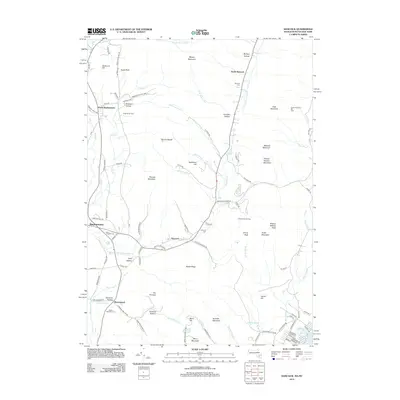
2012 Map of Hancock
USGS Topo · Published 2012About this map
Hancock and Stephentown anchor this survey of the high country straddling the Massachusetts and New York border. The landscape is defined by the steep rises of the Taconic Range, where recreation and agriculture coexist. The presence of both Brodie Mountain Ski Area and Jiminy Peak Ski Area highlights the region's modern economic identity, while established operations like Sugar Bush Farm and Stone Wall Hill Farm maintain the area's rural heritage.
Find a feature on this map
107 named features on this map. Tap any name to fly to it.
Don’t see what you’re looking for? This feature index may not catch every label — zoom into the map to look around manually.
Map Details
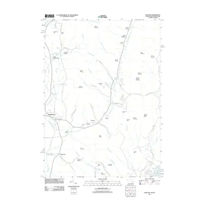
Editions of this 2012 Hancock Map
2 editions found
Other maps of this area

1886 · Greylock
USGS Topo · 1:62,500

1886 · Becket
USGS Topo · 1:62,500

1888 · Becket
USGS Topo · 1:62,500

1888 · Berlin
USGS Topo · 1:62,500

1888 · Pittsfield
USGS Topo · 1:62,500

1890 · Pittsfield
USGS Topo · 1:62,500

1890 · Berlin
USGS Topo · 1:62,500

1891 · Greylock
USGS Topo · 1:62,500

1893 · Becket
USGS Topo · 1:62,500

1893 · Greylock
USGS Topo · 1:62,500