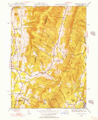
1944 Map of Hancock
USGS Topo · Published 1956About this map
Brodie Mountain and the steep ridges of the Taconic range dominate this 1944 survey of the borderlands between Rensselaer County, New York, and Berkshire County, Massachusetts. The landscape is defined by deep hollows and narrow valleys where small settlements like North Hancock and Hancock follow the winding course of Kinderhook Creek. To the west, Stephentown and North Stephentown sit in a broader valley shaped by Rutland Brook and East Brook. The map reveals a mid-century rural infrastructure of mountain roads and scattered education centers, including the Gorton Sch and Balance Rock Sch. Many of the high summits are marked by landmarks like the Fire Tower atop Brodie Mountain or the distinctive Balance Rock near the Lanesborough line. This era captures the region's transition, showing established family-named landmarks such as Widow Whites Peak and Bentley Hollow alongside the clearings of Pease Ridge.
Find a feature on this map
56 named features on this map. Tap any name to fly to it.
Don’t see what you’re looking for? This feature index may not catch every label — zoom into the map to look around manually.
Map Details
Editions of this 1944 Hancock Map
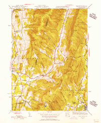
2 editions found
Other maps of this area

1886 · Greylock
USGS Topo · 1:62,500

1886 · Becket
USGS Topo · 1:62,500

1888 · Becket
USGS Topo · 1:62,500

1888 · Berlin
USGS Topo · 1:62,500

1888 · Pittsfield
USGS Topo · 1:62,500

1890 · Pittsfield
USGS Topo · 1:62,500

1890 · Berlin
USGS Topo · 1:62,500

1891 · Greylock
USGS Topo · 1:62,500

1893 · Becket
USGS Topo · 1:62,500

1893 · Greylock
USGS Topo · 1:62,500