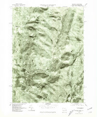
1975 Map of Hancock
USGS Topo · Published 1981About this map
Hancock and its neighboring valley settlements sit along the border of Massachusetts and New York in this 1975 orthophoto quadrangle. The imagery, captured in late October, provides a clear view of the agricultural patterns and wooded slopes of the Taconic range before the heavy snowfall of winter. The village of Stephentown and its northern counterpart, North Stephentown, are visible to the west, while the eastern portion is dominated by the high terrain of Brodie Mountain.
Find a feature on this map
8 named features on this map. Tap any name to fly to it.
Don’t see what you’re looking for? This feature index may not catch every label — zoom into the map to look around manually.
Map Details
Editions of this 1975 Hancock Map
This is the sole edition of this map. No revisions or reprints were ever made.
Other maps of this area

1886 · Greylock
USGS Topo · 1:62,500

1886 · Becket
USGS Topo · 1:62,500

1888 · Becket
USGS Topo · 1:62,500

1888 · Berlin
USGS Topo · 1:62,500

1888 · Pittsfield
USGS Topo · 1:62,500

1890 · Pittsfield
USGS Topo · 1:62,500

1890 · Berlin
USGS Topo · 1:62,500

1891 · Greylock
USGS Topo · 1:62,500

1893 · Becket
USGS Topo · 1:62,500

1893 · Greylock
USGS Topo · 1:62,500