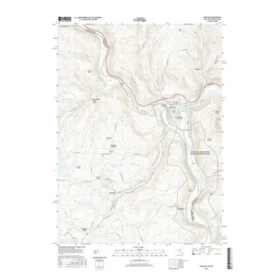
2016 Map of Hancock
USGS Topo · Published 2016About this map
The confluence of the West Branch Delaware River and the East Branch Delaware River anchors this landscape, where the waters meet to form the main stem of the Delaware River. Located at this strategic river junction, the village of Hancock serves as a focal point for the region's transport and settlement patterns, connected to the surrounding heights by roads like Old State Rd and Peas Eddy Rd. The topography is defined by dramatic elevations such as Point Mtn and the steep Delaware River Gorge, which carve through the borderlands between New York and Pennsylvania.
Find a feature on this map
86 named features on this map. Tap any name to fly to it.
Don’t see what you’re looking for? This feature index may not catch every label — zoom into the map to look around manually.
Map Details
Editions of this 2016 Hancock Map
This is the sole edition of this map. No revisions or reprints were ever made.
Other maps of this area

1920 · Long Eddy
USGS Topo · 1:62,500

1921 · Long Eddy
USGS Topo · 1:48,000

1923 · Long Eddy
USGS Topo · 1:62,500

1923 · Walton
USGS Topo · 1:48,000

1924 · Starrucca
USGS Topo · 1:48,000

1924 · Deposit
USGS Topo · 1:62,500

1925 · Walton
USGS Topo · 1:62,500

1926 · Deposit
USGS Topo · 1:62,500

1926 · Starrucca
USGS Topo · 1:62,500

1930 · Starrucca
USGS Topo · 1:48,000