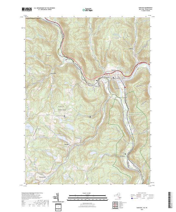
2023 Map of Hancock
USGS Topo · Published 2023About this map
Hancock and Cadosia sit at the strategic confluence of the West Branch Delaware River and the main stem, anchoring this borderland between New York and Pennsylvania. The river system dictates the local geography, carved through by the Delaware River Gorge and flanked by elevations like Point Mtn and Hawks Nest. The legacy of 19th-century transport is visible in the O & W Rail-Trail and the corresponding O and W Road, which follow the valley floor once vital to the regional timber and coal economy. Small upland settlements such as Starlight, Winterdale, and Autumn Leaves are scattered across the higher terrain of Kingsbury Hill and Coon Hill. For those researching local families, numerous burying grounds are documented, including Riverview Cemetery and the Village Community Cemetery, alongside rural sites like the Kingsbury Hill Cemetery.
Find a feature on this map
103 named features on this map. Tap any name to fly to it.
Don’t see what you’re looking for? This feature index may not catch every label — zoom into the map to look around manually.
Map Details
Editions of this 2023 Hancock Map
This is the sole edition of this map. No revisions or reprints were ever made.
Other maps of this area

1920 · Long Eddy
USGS Topo · 1:62,500

1921 · Long Eddy
USGS Topo · 1:48,000

1923 · Long Eddy
USGS Topo · 1:62,500

1923 · Walton
USGS Topo · 1:48,000

1924 · Starrucca
USGS Topo · 1:48,000

1924 · Deposit
USGS Topo · 1:62,500

1925 · Walton
USGS Topo · 1:62,500

1926 · Deposit
USGS Topo · 1:62,500

1926 · Starrucca
USGS Topo · 1:62,500

1930 · Starrucca
USGS Topo · 1:48,000