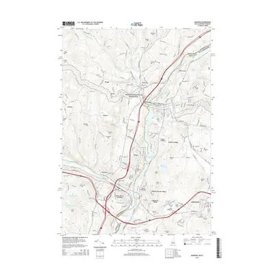
2015 Map of Hanover
USGS Topo · Published 2015About this map
The Connecticut River serves as the focal point and state boundary on this 2015 survey, dividing the Vermont communities of Norwich and Wilder from the New Hampshire side featuring Hanover and Lebanon. This region exhibits a dense network of river-centered development and transportation infrastructure, anchored by the confluence at White River Junction. Local history is visible in the numerous burial grounds like Hillside Cem and Pine Knolls Cem, while the Appalachian National Scenic Trail winds through the hills of Norwich before crossing the river via the Ledyard Free Bridge. The landscape transitions from the developed corridors of West Lebanon and Pinewood Village to the higher elevations of Velvet Rocks and Mt Support, illustrating the varied topography of the Grafton and Windsor county line. Modern landmarks, including the Lebanon Municipal Airport and Storrs Pond, are situated alongside older established neighborhoods such as Dothan and Bragg.
Find a feature on this map
177 named features on this map. Tap any name to fly to it.
Don’t see what you’re looking for? This feature index may not catch every label — zoom into the map to look around manually.
Map Details
Editions of this 2015 Hanover Map
This is the sole edition of this map. No revisions or reprints were ever made.
Other maps of this area

1896 · Strafford
USGS Topo · 1:62,500

1906 · Hanover
USGS Topo · 1:62,500

1908 · Hanover
USGS Topo · 1:62,500

1927 · Mascoma
USGS Topo · 1:62,500

1931 · Mt. Cube
USGS Topo · 1:62,500

1932 · Mascoma
USGS Topo · 1:62,500

1933 · Mt. Cube
USGS Topo · 1:62,500

1944 · Strafford
USGS Topo · 1:62,500

1950 · Glens Falls
USGS Topo · 1:250,000

1956 · Glens Falls
USGS Topo · 1:250,000