
1932 Map of Mascoma
USGS Topo · Published 1932About this map
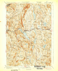
The Shaker community on the southwestern shores of Mascoma Lake defines the cultural landscape of this 1932 edition. Both Lower Shaker Village and Upper Shaker Village are clearly marked, illustrating a era of communal living and distinct architecture that helped shape the Enfield area. The terrain is characterized by the prominent ridge of Shaker Mountain and the high peaks of Croydon Mountain, which separate the Mascoma River valley from the headwaters of the Sugar River to the south.
Find a feature on this map
134 named features on this map. Tap any name to fly to it.
Don’t see what you’re looking for? This feature index may not catch every label — zoom into the map to look around manually.
Map Details
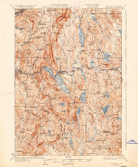
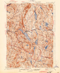
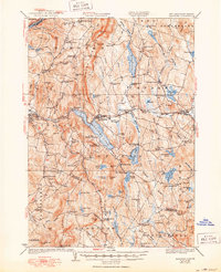
Editions of this 1932 Mascoma Map
5 editions found
Other maps of this area

1896 · Strafford
USGS Topo · 1:62,500

1902 · Sunapee
USGS Topo · 1:62,500

1905 · Sunapee
USGS Topo · 1:62,500

1906 · Hanover
USGS Topo · 1:62,500

1907 · Sunapee
USGS Topo · 1:62,500

1908 · Hanover
USGS Topo · 1:62,500

1926 · Claremont
USGS Topo · 1:62,500

1927 · Cardigan
USGS Topo · 1:62,500

1927 · Mascoma
USGS Topo · 1:62,500

1928 · Mount Kearsarge
USGS Topo · 1:62,500