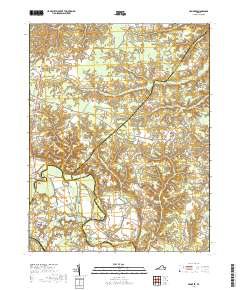
2019 Map of Hanover
USGS Topo · Published 2019About this map
The Hanover County Courthouse serves as the focal point for this region where the boundaries of Caroline, King William, and Hanover Counties converge. The landscape is defined by the winding course of the Pamunkey River, which separates the low-lying wetlands and bottomlands from the upland settlements. Significant historical crossroads and small communities such as Etna Mills, Mangohick, and Frog Level are connected by a network of rural routes including King William Rd and Dawn Blvd.
Find a feature on this map
57 named features on this map. Tap any name to fly to it.
Don’t see what you’re looking for? This feature index may not catch every label — zoom into the map to look around manually.
Map Details
Editions of this 2019 Hanover Map
This is the sole edition of this map. No revisions or reprints were ever made.
Other maps of this area

1894 · Richmond
USGS Topo · 1:62,500

1895 · Richmond
USGS Topo · 1:62,500

1918 · Doswell
USGS Topo · 1:62,500

1918 · Aylett
USGS Topo · 1:62,500

1920 · King William
USGS Topo · 1:62,500

1933 · Aylett
USGS Topo · 1:62,500

1938 · Studley
USGS Topo · 1:31,680

1938 · Yellow Tavern
USGS Topo · 1:31,680

1943 · Richmond
USGS Topo · 1:250,000

1949 · Richmond
USGS Topo · 1:250,000