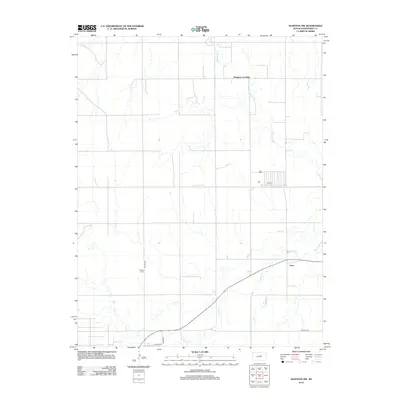
2012 Map of Hanston NW
USGS Topo · Published 2012About this map
Pawnee River meanders across the northern reaches of this Hodgeman County landscape, where the rural crossing known as Dungans Crossing marks a specific point of local transit. The map captures a largely agricultural region characterized by the drainage of Buckner Cr and multiple branches of Dry Cr, illustrating the vital role of watercourses in shaping the local geography. To the south, the settlement of Gray sits along Route 156, serving as a focal point for the surrounding farmsteads. Genealogists will find the Hanston Cem clearly marked along Bazine Rd, a key site for tracing local family histories. The grid of section roads, including Garfield Rd and Adams St, demonstrates the organized land division typical of the Kansas plains, providing a precise spatial context for identifying historical property boundaries and homesteads.
Find a feature on this map
11 named features on this map. Tap any name to fly to it.
Don’t see what you’re looking for? This feature index may not catch every label — zoom into the map to look around manually.
Map Details
Editions of this 2012 Hanston NW Map
This is the sole edition of this map. No revisions or reprints were ever made.
Other maps of this area

1892 · Ness
USGS Topo · 1:125,000

1894 · Ness
USGS Topo · 1:125,000

1955 · Great Bend
USGS Topo · 1:250,000

1957 · Great Bend
USGS Topo · 1:250,000

1958 · Great Bend
USGS Topo · 1:250,000

1970 · Jetmore SE
USGS Topo · 1:24,000
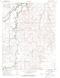
1970 · Hanston
USGS Topo · 1:24,000

1970 · Hanston NW
USGS Topo · 1:24,000

1970 · Jetmore NE
USGS Topo · 1:24,000
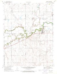
1970 · Burdett
USGS Topo · 1:24,000