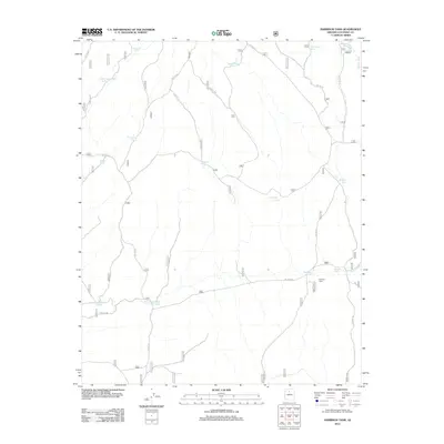
2012 Map of Harbison Tank
USGS Topo · Published 2012About this map
Harbison Cabin anchors this high-desert landscape in Coconino County, surrounded by an intricate network of water catchments essential for ranching and wildlife in this arid region. The map reveals a specific cultural layer in its naming conventions, particularly the "tank" labels used for these water sources. While many bear classic western descriptors like Porcupine Tank, Antelope Tank, or Red Horse Tank, a cluster of names reflects early twentieth-century automotive history, including Old Automobile Tank, New Automobile Tank, and the specific Hupmobile Tank.
Find a feature on this map
65 named features on this map. Tap any name to fly to it.
Don’t see what you’re looking for? This feature index may not catch every label — zoom into the map to look around manually.
Map Details
Editions of this 2012 Harbison Tank Map
This is the sole edition of this map. No revisions or reprints were ever made.
Other maps of this area

1886 · San Francisco Mtns
USGS Topo · 1:250,000

1886 · Chino
USGS Topo · 1:250,000

1891 · San Francisco Mtns
USGS Topo · 1:250,000

1891 · Chino
USGS Topo · 1:250,000

1894 · San Francisco Mtns
USGS Topo · 1:250,000

1899 · San Francisco Mtns
USGS Topo · 1:250,000

1947 · Flagstaff
USGS Topo · 1:250,000

1948 · Williams
USGS Topo · 1:250,000

1954 · Flagstaff
USGS Topo · 1:250,000

1954 · Williams
USGS Topo · 1:250,000