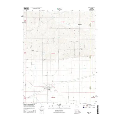
2015 Map of Hardin
USGS Topo · Published 2015About this map
Hardin occupies the southern reach of this Ray County landscape, situated near the winding course of the Crooked River. The area’s geography is defined by a transition from the river bottomlands to the dissected uplands to the north, where small settlements like Morton and Rockingham are established. A sophisticated water management system is evident through features like the Norborne Drainage Ditch and Booker Slough, reflecting the agricultural necessity of controlling the floodplain.
Find a feature on this map
76 named features on this map. Tap any name to fly to it.
Don’t see what you’re looking for? This feature index may not catch every label — zoom into the map to look around manually.
Map Details
Editions of this 2015 Hardin Map
This is the sole edition of this map. No revisions or reprints were ever made.
Other maps of this area

1889 · Lexington
USGS Topo · 1:125,000

1949 · Lexington East
USGS Topo · 1:24,000

1949 · Lexington West
USGS Topo · 1:24,000

1950 · Lexington East
USGS Topo · 1:24,000
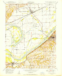
1950 · Lexington West
USGS Topo · 1:24,000

1950 · Dover
USGS Topo · 1:24,000
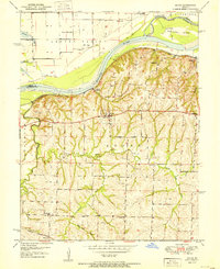
1951 · Dover
USGS Topo · 1:24,000

1953 · Moberly
USGS Topo · 1:250,000

1954 · Moberly
USGS Topo · 1:250,000

1957 · Moberly
USGS Topo · 1:250,000