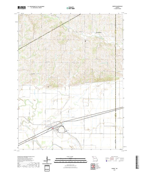
2021 Map of Hardin
USGS Topo · Published 2021About this map
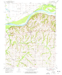
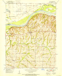
Hardin anchors the southern portion of this Missouri landscape, situated near the winding course of the Crooked River. The map illustrates a clear transition from the managed aquatic environment of the Norborne Drainage Ditch in the lowlands to the rolling drainage systems of the W Fork Wakenda Cr and Dangerous Br to the north. These waterways define the distribution of small communities like Rockingham and Morton, which are connected by a network of state and county roads.
Find a feature on this map
72 named features on this map. Tap any name to fly to it.
Don’t see what you’re looking for? This feature index may not catch every label — zoom into the map to look around manually.
Map Details
Editions of this 2021 Hardin Map
This is the sole edition of this map. No revisions or reprints were ever made.
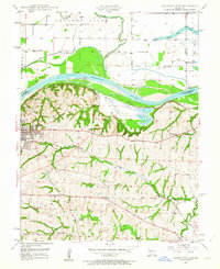
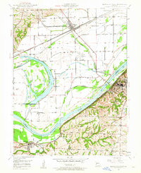
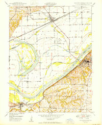
Other maps of this area

1889 · Lexington
USGS Topo · 1:125,000
1949 · Lexington East
USGS Topo · 1:24,000
1949 · Lexington West
USGS Topo · 1:24,000

1950 · Lexington East
USGS Topo · 1:24,000
1950 · Lexington West
USGS Topo · 1:24,000
1950 · Dover
USGS Topo · 1:24,000
1951 · Dover
USGS Topo · 1:24,000

1953 · Moberly
USGS Topo · 1:250,000

1954 · Moberly
USGS Topo · 1:250,000

1957 · Moberly
USGS Topo · 1:250,000