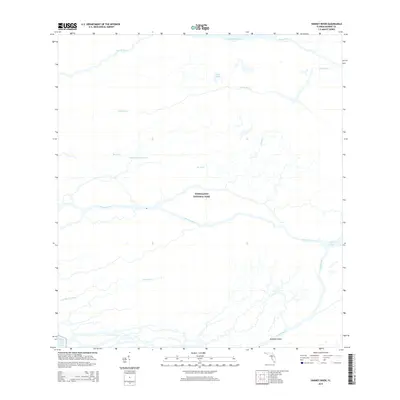
2015 Map of Harney River
USGS Topo · Published 2015About this map
Everglades National Park covers this entire coastal landscape, where the freshwater sawgrass marsh gives way to a complex network of mangrove-lined tidal rivers. The sheet focuses on the convergence of the Broad River, Harney River, and Shark River as they flow west toward Ponce de Leon Bay on the Gulf of Mexico. This environment is characterized by its isolation and lack of permanent human structures, with the Wilderness Waterway providing the primary navigational route for those traversing these wetlands. The intricate hydrography shown here, including Gunboat Island and Tarpon Bay, illustrates the natural drainage patterns of the southern Florida peninsula. Historically significant watercourses like Graveyard Creek and the Wood River wind through the region, providing vital habitat and serving as the same routes used by early explorers and residents of the Florida frontier.
Find a feature on this map
14 named features on this map. Tap any name to fly to it.
Don’t see what you’re looking for? This feature index may not catch every label — zoom into the map to look around manually.
Map Details
Editions of this 2015 Harney River Map
This is the sole edition of this map. No revisions or reprints were ever made.
Other maps of this area

1956 · Miami
USGS Topo · 1:250,000

1958 · Miami
USGS Topo · 1:250,000

1972 · Whitewater Bay West
USGS Topo · 1:24,000

1972 · Whitewater Bay East
USGS Topo · 1:24,000

1972 · Harney River
USGS Topo · 1:24,000

1972 · Tarpon Bay
USGS Topo · 1:24,000

1972 · Shark River Island
USGS Topo · 1:24,000

1972 · Indian Camp Creek
USGS Topo · 1:24,000

1972 · Shark Point
USGS Topo · 1:24,000

1973 · Big Lostmans Bay
USGS Topo · 1:24,000