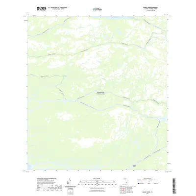
2021 Map of Harney River
USGS Topo · Published 2021About this map
Everglades National Park covers this coastal landscape in Monroe County, Florida, where the labyrinthine waterways of the southwest coast meet the Gulf of Mexico. This environment is defined by its complex hydrography, featuring major arteries like the Harney River, Broad River, and Wood River. These rivers wind through a dense network of wetlands, connecting interior features such as Mud Lakes to the open waters of Ponce de Leon Bay.
Find a feature on this map
17 named features on this map. Tap any name to fly to it.
Don’t see what you’re looking for? This feature index may not catch every label — zoom into the map to look around manually.
Map Details
Editions of this 2021 Harney River Map
This is the sole edition of this map. No revisions or reprints were ever made.
Other maps of this area

1956 · Miami
USGS Topo · 1:250,000

1958 · Miami
USGS Topo · 1:250,000

1972 · Whitewater Bay West
USGS Topo · 1:24,000

1972 · Whitewater Bay East
USGS Topo · 1:24,000

1972 · Harney River
USGS Topo · 1:24,000

1972 · Tarpon Bay
USGS Topo · 1:24,000

1972 · Shark River Island
USGS Topo · 1:24,000

1972 · Indian Camp Creek
USGS Topo · 1:24,000

1972 · Shark Point
USGS Topo · 1:24,000

1973 · Big Lostmans Bay
USGS Topo · 1:24,000