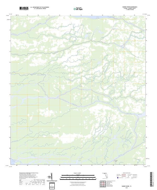
2024 Map of Harney River
USGS Topo · Published 2024About this map
The Everglades landscape dominates this modern survey, defined by the intricate coastal hydrology of Monroe County. Within the Marjory Stoneman Douglas Wilderness, a complex network of mangrove-lined waterways and brackish bays forms the primary infrastructure for travel. The map illustrates how the Broad River and Harney River drain the sawgrass prairies into the Gulf of Mexico at Ponce de Leon Bay.
Find a feature on this map
17 named features on this map. Tap any name to fly to it.
Don’t see what you’re looking for? This feature index may not catch every label — zoom into the map to look around manually.
Map Details
Editions of this 2024 Harney River Map
This is the sole edition of this map. No revisions or reprints were ever made.
Other maps of this area

1956 · Miami
USGS Topo · 1:250,000

1958 · Miami
USGS Topo · 1:250,000

1972 · Whitewater Bay West
USGS Topo · 1:24,000

1972 · Whitewater Bay East
USGS Topo · 1:24,000

1972 · Harney River
USGS Topo · 1:24,000

1972 · Tarpon Bay
USGS Topo · 1:24,000

1972 · Shark River Island
USGS Topo · 1:24,000

1972 · Indian Camp Creek
USGS Topo · 1:24,000

1972 · Shark Point
USGS Topo · 1:24,000

1973 · Big Lostmans Bay
USGS Topo · 1:24,000