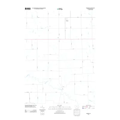
2013 Map of Harper
USGS Topo · Published 2013About this map
Harper sits at the northern end of this Keokuk County landscape, defined by a rigid grid of agricultural roads and the meandering path of the N Skunk River. This 2013 survey illustrates the enduring rural structure of the region, where the small settlement of Baden serves as a local landmark south of the main town. The terrain is drained by a network of waterways including German Cr, Br Cr, and Clear Cr, which break the geometric precision of the section-line roads. The southern portion of the quadrangle is dominated by the wide bends of the Skunk River, where the elevation contours reveal the low-lying floodplains that contrast with the upland farm plots. This map is a clear record of modern Iowa land use, showing the intersection of primary highways and the gravel road network that supports the local farming economy.
Find a feature on this map
43 named features on this map. Tap any name to fly to it.
Don’t see what you’re looking for? This feature index may not catch every label — zoom into the map to look around manually.
Map Details
Editions of this 2013 Harper Map
This is the sole edition of this map. No revisions or reprints were ever made.
Other maps of this area

1954 · Des Moines
USGS Topo · 1:250,000

1956 · Des Moines
USGS Topo · 1:250,000

1957 · Des Moines
USGS Topo · 1:250,000

1958 · Davenport
USGS Topo · 1:250,000

1961 · Davenport
USGS Topo · 1:250,000

1962 · Davenport
USGS Topo · 1:250,000

1965 · Keswick
USGS Topo · 1:24,000

1965 · Harper
USGS Topo · 1:24,000

1965 · South English
USGS Topo · 1:24,000

1965 · Sigourney
USGS Topo · 1:24,000