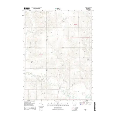
2015 Map of Harper
USGS Topo · Published 2015About this map
Harper serves as the primary hub in this portion of Keokuk County, situated along a grid of rural roads that define the agricultural character of the region. The map reveals a dense concentration of local history markers, particularly through its numerous cemeteries that reflect the early settlement patterns of the township. Near the town center, Saint Elizabeth's Cem stands as a local landmark, while further south, the Saints Peter and Paul Catholic Cem and the Garibaldi Cem provide vital links for genealogical research. The landscape is defined by the meandering course of the North Skunk River and its various tributaries, including Clear Cr and German Cr. These waterways cut through the organized sections, creating a distinct contrast between the rigid road network of 200th St and 280th St and the natural drainage patterns that have shaped the land for generations.
Find a feature on this map
54 named features on this map. Tap any name to fly to it.
Don’t see what you’re looking for? This feature index may not catch every label — zoom into the map to look around manually.
Map Details
Editions of this 2015 Harper Map
This is the sole edition of this map. No revisions or reprints were ever made.
Other maps of this area

1954 · Des Moines
USGS Topo · 1:250,000

1956 · Des Moines
USGS Topo · 1:250,000

1957 · Des Moines
USGS Topo · 1:250,000

1958 · Davenport
USGS Topo · 1:250,000

1961 · Davenport
USGS Topo · 1:250,000

1962 · Davenport
USGS Topo · 1:250,000

1965 · Keswick
USGS Topo · 1:24,000

1965 · Harper
USGS Topo · 1:24,000

1965 · South English
USGS Topo · 1:24,000

1965 · Sigourney
USGS Topo · 1:24,000