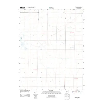
2013 Map of Harrence Lake
USGS Topo · Published 2013About this map
Harrence Lake and the broader Russell Lakes system define this high-altitude basin in Saguache County, Colorado. The landscape is characterized by a network of ephemeral watercourses and small basins, including Island Lake and Davey Lake, which sit within a grid of county roads such as CO Road T and CO Rd 50. The drainage pattern is heavily influenced by the seasonal flow of Werner Arroyo and the eastward path of Russell Cr.
Find a feature on this map
21 named features on this map. Tap any name to fly to it.
Don’t see what you’re looking for? This feature index may not catch every label — zoom into the map to look around manually.
Map Details
Editions of this 2013 Harrence Lake Map
This is the sole edition of this map. No revisions or reprints were ever made.
Other maps of this area

1915 · Del Norte
USGS Topo · 1:125,000

1917 · Del Norte
USGS Topo · 1:125,000

1945 · Durango
USGS Topo · 1:250,000

1953 · Durango
USGS Topo · 1:250,000

1954 · Durango
USGS Topo · 1:250,000

1954 · Trinidad
USGS Topo · 1:250,000

1954 · Pueblo
USGS Topo · 1:250,000

1955 · Trinidad
USGS Topo · 1:250,000

1956 · Montrose
USGS Topo · 1:250,000

1957 · Pueblo
USGS Topo · 1:250,000