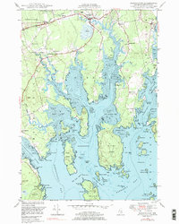
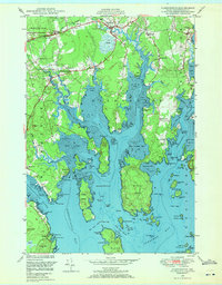
1948 Map of Harrington
USGS Topo · Published 1977About this map
Harrington and its neighboring coastal settlements are defined by an intricate network of tidal inlets and islands in this mid-century survey. The landscape is oriented around the Harrington River and Flat Bay, where the local economy and social life were anchored by small hubs like West Harrington and Dorman. Genealogists will find a wealth of specific landmarks, from the Church in the Wildwood to several local cemeteries such as Rock Maple Cem and Coffin Sch Cem. Education and civic life are represented by multiple rural schoolhouses, including the Marshville Sch and Wards Cove Sch. The topography reveals the maritime character of Washington County, showing many geographic features like Ripley Neck and Dyer Island, alongside the tracks of the Central railroad line that once moved goods through this coastal stretch.
Find a feature on this map
134 named features on this map. Tap any name to fly to it.
Don’t see what you’re looking for? This feature index may not catch every label — zoom into the map to look around manually.
Map Details
Editions of this 1948 Harrington Map
2 editions found
Other maps of this area

1902 · Cherryfield
USGS Topo · 1:62,500

1904 · Cherryfield
USGS Topo · 1:62,500

1904 · Petit Manan
USGS Topo · 1:62,500

1921 · Great Wass Island
USGS Topo · 1:62,500

1921 · Columbia Falls
USGS Topo · 1:62,500

1921 · Columbia Falls
USGS Topo · 1:62,500

1941 · Columbia Falls
USGS Topo · 1:62,500

1942 · Cherryfield
USGS Topo · 1:62,500

1942 · Columbia Falls
USGS Topo · 1:62,500
1948 · Columbia Falls
USGS Topo · 1:24,000