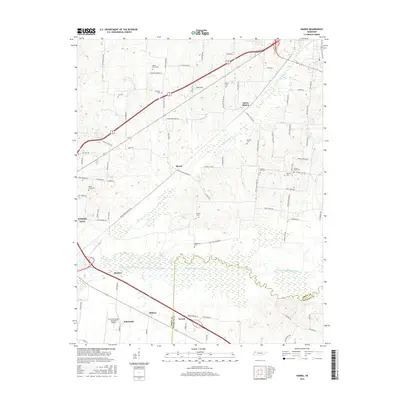
2016 Map of Harris
USGS Topo · Published 2016About this map
The North Fork Obion River and its expansive wetlands dominate the southern half of this Tennessee landscape, marking the natural boundary between Obion Co and Weakley Co. This 2016 survey documents a rural environment characterized by a dense network of family cemeteries and small crossroads settlements that have persisted through generations. The local history of the area is particularly legible through sites like the Morris Slave Cem, located near the northern edge of the map, and several other family burial grounds including Gill Cem and Murphey Cem.
Find a feature on this map
86 named features on this map. Tap any name to fly to it.
Don’t see what you’re looking for? This feature index may not catch every label — zoom into the map to look around manually.
Map Details
Editions of this 2016 Harris Map
This is the sole edition of this map. No revisions or reprints were ever made.
Other maps of this area

1939 · Hickman
USGS Topo · 1:62,500

1950 · Martin
USGS Topo · 1:24,000

1950 · Rives
USGS Topo · 1:24,000

1951 · Rives
USGS Topo · 1:24,000

1951 · Cayce
USGS Topo · 1:24,000

1952 · Crutchfield
USGS Topo · 1:24,000

1952 · Water Valley
USGS Topo · 1:24,000

1952 · Water Valley
USGS Topo · 1:62,500

1954 · Union City
USGS Topo · 1:24,000

1954 · Hickman
USGS Topo · 1:62,500