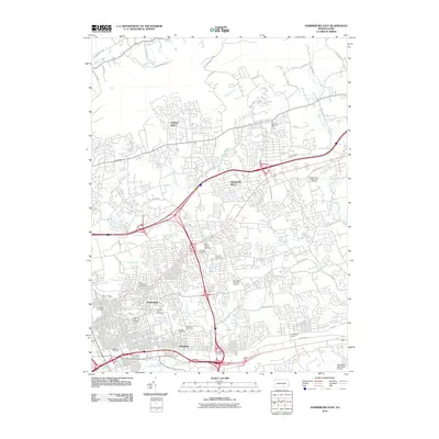
2010 Map of Harrisburg East
USGS Topo · Published 2010About this map
Harrisburg Cemetery and Mount Moriah Cemetery anchor the historic burial grounds of this suburban landscape, showing the transition from the dense urban grid of the state capital to the sprawling residential developments of Forest Hills and Penbrook. The infrastructure of the early 21st century is on full display here, dominated by the massive interchange of the Capital Beltway and the industrial footprint of Rutherford Yards. While the modern interstate system carves through the terrain, older natural boundaries persist, defined by the winding paths of Paxton Creek, Spring Creek, and Asylum Run. Local history and genealogy are deeply etched into the land at Shoops Cemetery and Prospect Hill Cemetery, while civic spaces like Koons Memorial Park and the Reservoir Park Overlook provide community landmarks amidst the northward expansion toward Blue Mountain.
Find a feature on this map
51 named features on this map. Tap any name to fly to it.
Don’t see what you’re looking for? This feature index may not catch every label — zoom into the map to look around manually.
Map Details
Editions of this 2010 Harrisburg East Map
This is the sole edition of this map. No revisions or reprints were ever made.
Other maps of this area

1892 · Hummelstown
USGS Topo · 1:62,500

1892 · Harrisburg
USGS Topo · 1:62,500

1899 · Harrisburg
USGS Topo · 1:62,500

1906 · New Cumberland
USGS Topo · 1:62,500

1908 · Middletown
USGS Topo · 1:62,500

1924 · Hummelstown
USGS Topo · 1:62,500

1924 · Harrisburg
USGS Topo · 1:62,500

1943 · New Cumberland
USGS Topo · 1:62,500

1943 · Middletown
USGS Topo · 1:62,500

1943 · Harrisburg
USGS Topo · 1:62,500
Featured Places
- Harrisburg, PA
- Colonial Park, Lower Paxton Township
- Progress, Susquehanna Township
- Linglestown, Lower Paxton Township
- Rutherford, Swatara Township