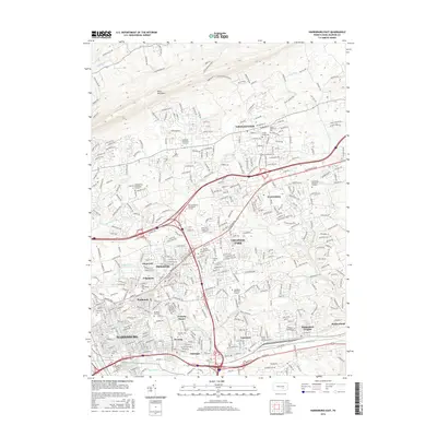
2016 Map of Harrisburg East
USGS Topo · Published 2016About this map
Blue Mountain looms over the northern edge of this suburban landscape, where the dense grid of Harrisburg transitions into the expanding residential developments of Dauphin County. The terrain is defined by several watercourses including Fishing Cr, Paxton Cr, and Asylum Run, which carve through the rising elevations north of the city. This 2016 survey captures a significant density of memorial and educational sites, from the historic Harrisburg Cem and Paxtang Cem to campuses like the Widener Univ Harrisburg Campus and Keystone Technical Institute. The complex highway interchanges around Progress and Colonial Park illustrate the modern transportation infrastructure that has integrated these historic settlements into a continuous metropolitan corridor. Several distinct communities, such as Linglestown and Paxtonia, maintain their identities even as the regional footprint of the state capital grows eastward.
Find a feature on this map
390 named features on this map. Tap any name to fly to it.
Don’t see what you’re looking for? This feature index may not catch every label — zoom into the map to look around manually.
Map Details
Editions of this 2016 Harrisburg East Map
This is the sole edition of this map. No revisions or reprints were ever made.
Other maps of this area

1892 · Hummelstown
USGS Topo · 1:62,500

1892 · Harrisburg
USGS Topo · 1:62,500

1899 · Harrisburg
USGS Topo · 1:62,500

1906 · New Cumberland
USGS Topo · 1:62,500

1908 · Middletown
USGS Topo · 1:62,500

1924 · Hummelstown
USGS Topo · 1:62,500

1924 · Harrisburg
USGS Topo · 1:62,500

1943 · New Cumberland
USGS Topo · 1:62,500

1943 · Middletown
USGS Topo · 1:62,500

1943 · Harrisburg
USGS Topo · 1:62,500
Featured Places
- Harrisburg, PA
- Colonial Park, Lower Paxton Township
- Progress, Susquehanna Township
- Linglestown, Lower Paxton Township
- Rutherford, Swatara Township