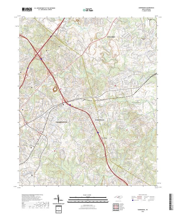
2022 Map of Harrisburg
USGS Topo · Published 2022About this map
Rocky River and its numerous tributaries, including Mallard Cr and Coddle Creek, define the topography of this region where Cabarrus and Mecklenburg counties meet. The landscape reflects a mix of long-established rural institutions and modern institutional expansion, anchored by the University of North Carolina at Charlotte in the west and Harrisburg in the center. Genealogists will find significant value in the preservation of numerous burial sites, from the Mallard Creek Church Cem to the Alexander Slave Cem, providing a window into the area's ancestral history. The presence of Roberta Mill in the northeast and Pine Ridge suggest the varied industrial and residential development patterns that have shaped the corridor between Charlotte and Concord. Transport networks like Speedway Blvd and the sprawl of Newell demonstrate the continued growth of this Piedmont area.
Find a feature on this map
339 named features on this map. Tap any name to fly to it.
Don’t see what you’re looking for? This feature index may not catch every label — zoom into the map to look around manually.
Map Details
Editions of this 2022 Harrisburg Map
This is the sole edition of this map. No revisions or reprints were ever made.
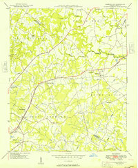
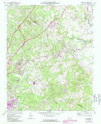
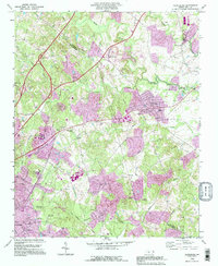
Historical Maps of Casa Lynda Estates Through Time
4 maps found