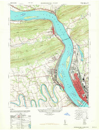
1963 Map of Harrisburg West
USGS Topo · Published 1963About this map
The Susquehanna River dominates this mid-century landscape, carving a path through the ridges of Second Mountain, Blue Mountain, and Cove Mountain. On the eastern bank, the sprawling urban layout of Harrisburg is centered around the State Capitol and the Farm Show Building, while the western shore reveals the massive rail infrastructure at Enola and Marysville. The map illustrates the region's transport reliance, from the iconic Rockville Bridge to the winding course of Conodoguinet Creek as it approaches the river.
Find a feature on this map
50 named features on this map. Tap any name to fly to it.
Don’t see what you’re looking for? This feature index may not catch every label — zoom into the map to look around manually.
Map Details
Editions of this 1963 Harrisburg West Map
This is the sole edition of this map. No revisions or reprints were ever made.
Historical Maps of Academy Manor Through Time
22 maps found
1947 Enders
Dauphin County, PA
1947 Halifax
Dauphin County, PA
1947 Harrisburg East
Dauphin County, PA
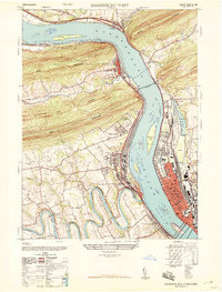
1947 Harrisburg West
Dauphin County, PA
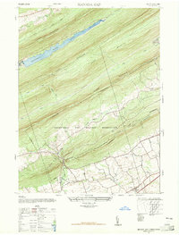
1947 Manada Gap
Dauphin County, PA
1963 Harrisburg West
Dauphin County, PA
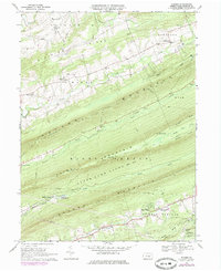
1969 Enders
Dauphin County, PA
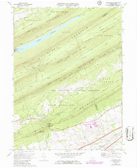
1969 Grantville
Dauphin County, PA
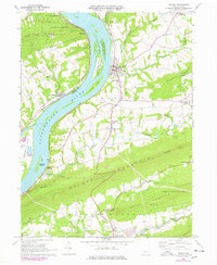
1969 Halifax
Dauphin County, PA
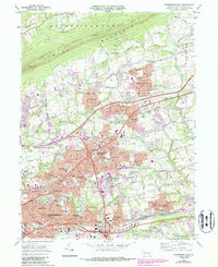
1969 Harrisburg East
Dauphin County, PA
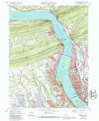
1969 Harrisburg West
Dauphin County, PA
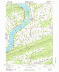
1977 Halifax
Dauphin County, PA
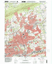
1993 Harrisburg East
Dauphin County, PA
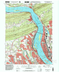
1993 Harrisburg West
Dauphin County, PA
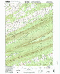
1995 Enders
Dauphin County, PA
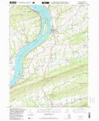
1995 Halifax
Dauphin County, PA
1999 Grantville
Dauphin County, PA
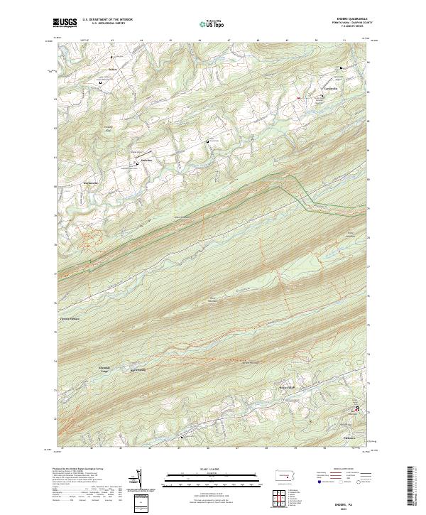
2023 Enders
Dauphin County, PA
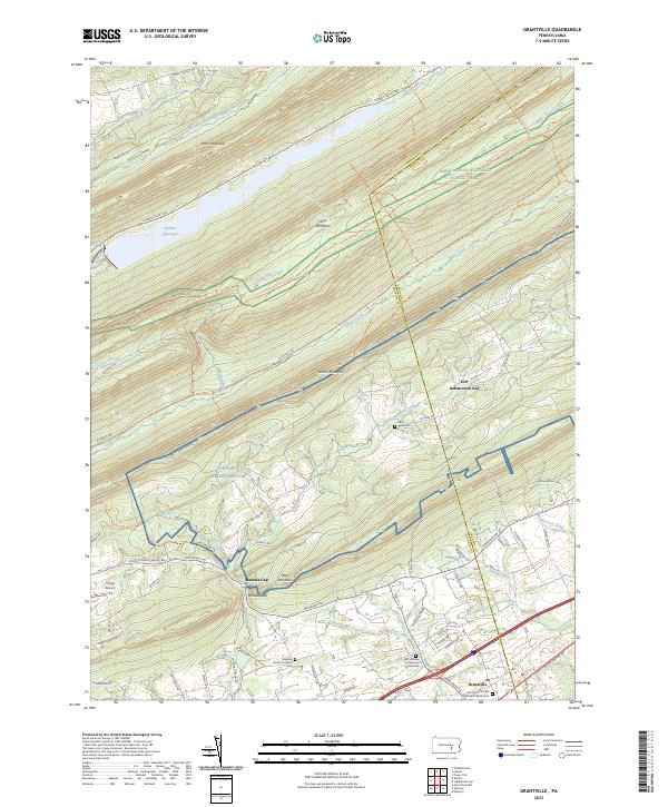
2023 Grantville
Dauphin County, PA
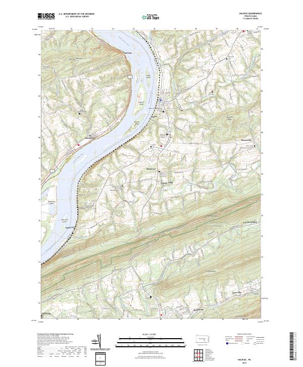
2023 Halifax
Dauphin County, PA
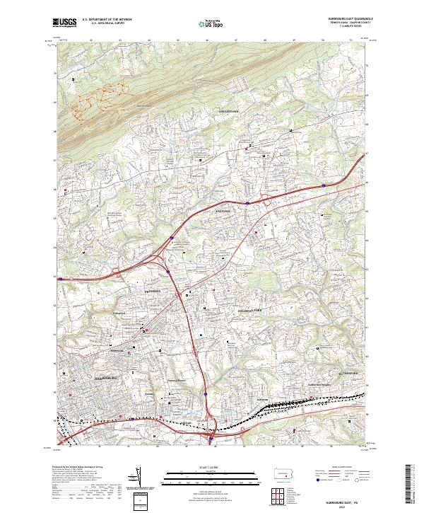
2023 Harrisburg East
Dauphin County, PA
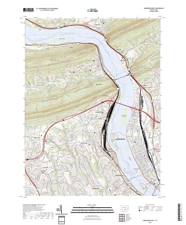
2023 Harrisburg West
Dauphin County, PA
Featured Locations
- Wormleysburg, PA
- Harrisburg, PA
- Dauphin, PA
- Enola, East Pennsboro Township
- West Fairview, East Pennsboro Township