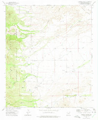
1972 Map of Harrison Canyon
USGS Topo · Published 1975About this map
The Coronado National Forest dominates the western landscape of this Graham County region, where the Galiuro Mountains give way to a network of high desert canyons. The intricate drainage systems of Aravaipa Creek, Black Canyon, and Harrison Canyon reveal a geography defined by its water management. Dozens of ranching and livestock features appear throughout the terrain, including the McGee Windmill, Rincon Dam, and several named water tanks such as Hurry Up Tank and Little Bull Tank. The presence of a Corral and numerous well sites suggests a focused history of open-range grazing and land use during the early 1970s. Navigational markers like the Sunset Loop and various jeep trails provide insight into the transit patterns through the Black Hills and toward Baker Hill at the southern edge.
Find a feature on this map
70 named features on this map. Tap any name to fly to it.
Don’t see what you’re looking for? This feature index may not catch every label — zoom into the map to look around manually.
Map Details
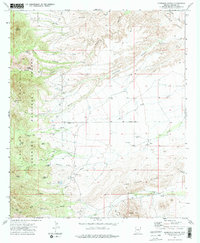
Editions of this 1972 Harrison Canyon Map
2 editions found
Other maps of this area

1938 · Galiuro Mts
USGS Topo · 1:48,000

1940 · Sierra Bonita Ranch
USGS Topo · 1:62,500

1942 · Sierra Bonita Ranch
USGS Topo · 1:62,500

1943 · Galiuro Mts
USGS Topo · 1:62,500

1943 · Sierra Bonita Ranch
USGS Topo · 1:62,500

1943 · Winchester Mts.
USGS Topo · 1:62,500

1945 · Redington
USGS Topo · 1:62,500

1945 · Winchester Mts.
USGS Topo · 1:62,500

1956 · Tucson
USGS Topo · 1:250,000

1957 · Redington
USGS Topo · 1:62,500