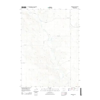
2014 Map of Harrison SW
USGS Topo · Published 2014About this map
The Niobrara River meanders through this portion of Sioux County, carving a distinct path through the high plains of western Nebraska. This 2014 survey illustrates a landscape primarily defined by water management and rural transit, featuring the Lakotah Canal running parallel to the river's upper reaches. The topography is marked by a series of draws and ridges that influence the placement of the local road network, including the high-ground route of Circle Butte Rd in the north and Thirty-Three Rd crossing the central terrain. Long-established section lines are served by thoroughfares like Merrill Rd, which navigates the undulating elevation changes characteristic of this region near the Wyoming border. The lack of concentrated settlements highlights the area's agricultural and open-range character in the early 21st century.
Find a feature on this map
5 named features on this map. Tap any name to fly to it.
Don’t see what you’re looking for? This feature index may not catch every label — zoom into the map to look around manually.
Map Details
Editions of this 2014 Harrison SW Map
This is the sole edition of this map. No revisions or reprints were ever made.
Other maps of this area

1896 · Patrick
USGS Topo · 1:125,000

1899 · Whistle Creek
USGS Topo · 1:125,000

1954 · Torrington
USGS Topo · 1:250,000

1955 · Alliance
USGS Topo · 1:250,000

1957 · Alliance
USGS Topo · 1:250,000

1958 · Torrington
USGS Topo · 1:250,000

1958 · Alliance
USGS Topo · 1:250,000

1977 · Van Tassell
USGS Topo · 1:24,000

1977 · Van Tassell SE
USGS Topo · 1:24,000
1978 · Torrington
USGS Topo · 1:100,000