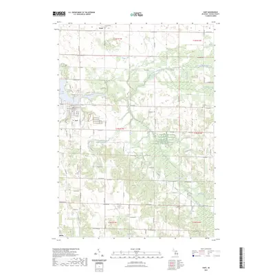
2023 Map of Hart
USGS Topo · Published 2023About this map
The city of Hart serves as the focal point of this survey, situated where the Pentwater River flows into Hart Lake. The town's grid is dense with civic infrastructure, including the Oceana County Building, while the surrounding rural landscape in Weare township is defined by a network of drainage systems like the Waldron Drain and South Branch Pentwater River. This 2023 data reflects a modern agricultural and administrative landscape, yet it preserves a high density of genealogical landmarks, from the North Hart Cem near the river to the isolated Genereau Cem in the eastern hills.
Find a feature on this map
66 named features on this map. Tap any name to fly to it.
Don’t see what you’re looking for? This feature index may not catch every label — zoom into the map to look around manually.
Map Details
Editions of this 2023 Hart Map
This is the sole edition of this map. No revisions or reprints were ever made.
Other maps of this area

1931 · Hart NW
USGS Topo · 1:31,680

1931 · Custer SW
USGS Topo · 1:31,680

1931 · Hart SE
USGS Topo · 1:31,680

1931 · Hart NE
USGS Topo · 1:31,680

1931 · Walkerville SW
USGS Topo · 1:31,680

1931 · Walkerville NW
USGS Topo · 1:31,680

1932 · Ludington SW
USGS Topo · 1:31,680

1932 · Ludington SE
USGS Topo · 1:31,680

1954 · Milwaukee
USGS Topo · 1:250,000

1958 · Milwaukee
USGS Topo · 1:250,000