Loading...
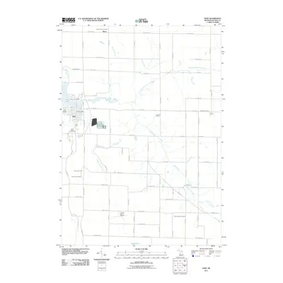
Loading map...1931 Map of Hart
USGS Topo · Published 1931About this map
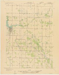
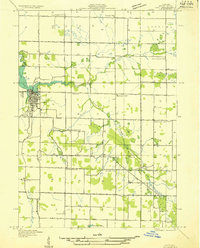
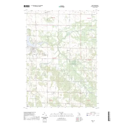
The county seat of Hart centers this early 1930s survey, situated along the southern shore of Hart Lake. The town's grid is well-defined, featuring the Fair Grounds and a junction of the Pere Marquette railway. The surrounding landscape in townships like Weare, Crystal, and Hart is characterized by a dense network of country schoolhouses, including Cargill Sch, Reed Sch, and Sackrider Sch, reflecting the high concentration of rural families in Oceana County during this era.
Find a feature on this map
30 named features on this map. Tap any name to fly to it.
Don’t see what you’re looking for? This feature index may not catch every label — zoom into the map to look around manually.
Map Details
Date Portrayed1931
Date Published1931
PublisherU.S. Geological Survey
Map TypeTopographic
Scale1:31,680
Physical Dimensions15.98 x 20.2 inches
Editions of this 1931 Hart Map
2 editions found
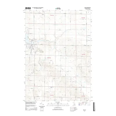
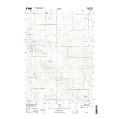
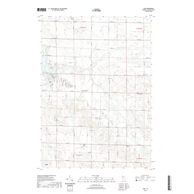
Historical Maps of Hart Through Time
7 maps found
Featured Locations
Source Details
SourceU.S. Geological Survey
CopyrightPublic Domain