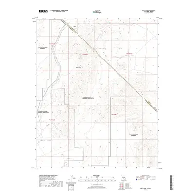
2018 Map of Hart Peak
USGS Topo · Published 2018About this map
Hart Peak stands as a prominent high point in this high desert landscape, which is defined by the intersection of the Castle Mountains and the Piute Range. This 2018 survey documents a region of significant federal conservation, showing the overlapping boundaries of the Mojave National Preserve and the Castle Mountains National Monument. The terrain is characterized by broad alluvial spans like Lanfair Valley and isolated water sources such as Quail Spring and Lewis Holes.
Find a feature on this map
18 named features on this map. Tap any name to fly to it.
Don’t see what you’re looking for? This feature index may not catch every label — zoom into the map to look around manually.
Map Details
Editions of this 2018 Hart Peak Map
This is the sole edition of this map. No revisions or reprints were ever made.
Other maps of this area

1886 · Camp Mohave
USGS Topo · 1:250,000

1892 · Camp Mohave
USGS Topo · 1:250,000

1910 · Ivanpah
USGS Topo · 1:250,000

1912 · Ivanpah
USGS Topo · 1:250,000

1926 · Mohave City
USGS Topo · 1:96,000

1942 · Camp Mohave
USGS Topo · 1:250,000

1942 · Ivanpah
USGS Topo · 1:250,000

1947 · Kingman
USGS Topo · 1:250,000

1948 · Kingman
USGS Topo · 1:250,000

1954 · Kingman
USGS Topo · 1:250,000