Loading...
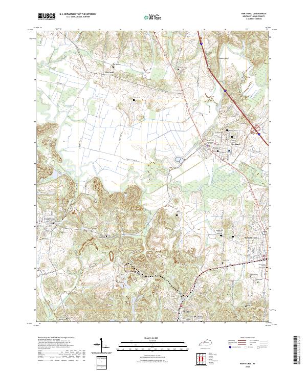
Loading map...2022 Map of Hartford
USGS Topo · Published 2022About this map
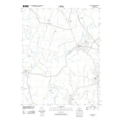
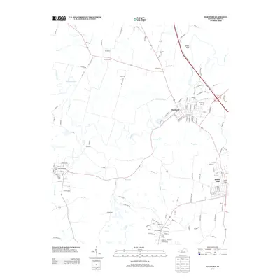
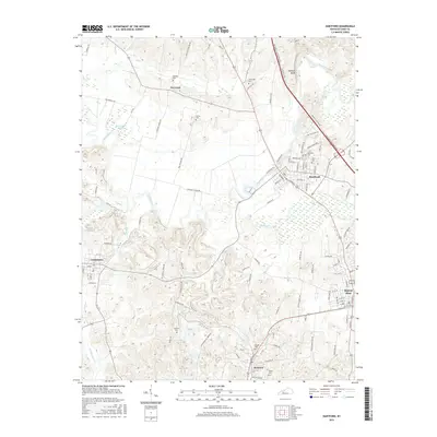
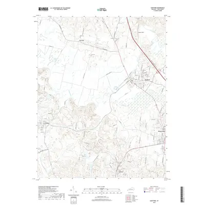
Rough River snakes through the heart of this landscape, anchoring the historical development of Hartford and the nearby communities of Beaver Dam, Centertown, and McHenry. The map reveals a dense network of local cemeteries that reflect the area's deep-rooted family and community history, including specialized sites like the Goshen Cem African American and McHenry Cem African American, alongside the industrial heritage suggested by Taylor Mines Cem.
Find a feature on this map
131 named features on this map. Tap any name to fly to it.
Don’t see what you’re looking for? This feature index may not catch every label — zoom into the map to look around manually.
Map Details
Date Portrayed2022
Date Published2022
PublisherU.S. Geological Survey
Map TypeTopographic
Scale1:24,000
Physical Dimensions24 x 29 inches
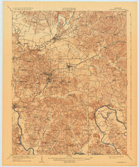
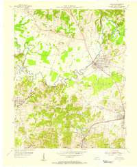
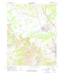
Editions of this 2022 Hartford Map
This is the sole edition of this map. No revisions or reprints were ever made.
Historical Maps of Beaver Dam Through Time
8 maps found
Featured Locations
Source Details
SourceU.S. Geological Survey
CopyrightPublic Domain