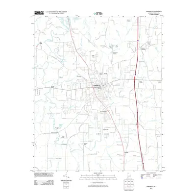
2011 Map of Hartselle
USGS Topo · Published 2011About this map
Hartselle serves as the central hub in this northern Alabama landscape, situated between the Tennessee River valley and the rising elevations of Aiken Mountain. The 2011 topography reveals a community shaped by its waterways and transport corridors, with the Hartselle town center anchored near Railroad St and the Hartselle Post Office. Beyond the urban core, the map detail identifies several outlying communities such as Oak Ridge, Valley View, and Leesdale.
Find a feature on this map
165 named features on this map. Tap any name to fly to it.
Don’t see what you’re looking for? This feature index may not catch every label — zoom into the map to look around manually.
Map Details
Editions of this 2011 Hartselle Map
This is the sole edition of this map. No revisions or reprints were ever made.
Other maps of this area

1888 · Cullman
USGS Topo · 1:125,000

1888 · Huntsville
USGS Topo · 1:125,000

1892 · Cullman
USGS Topo · 1:125,000

1892 · Huntsville
USGS Topo · 1:125,000

1927 · Falkville
USGS Topo · 1:24,000

1935 · Danville
USGS Topo · 1:48,000

1936 · Mc Kendry
USGS Topo · 1:24,000

1936 · Hartselle
USGS Topo · 1:24,000

1936 · Decatur
USGS Topo · 1:24,000

1936 · Trinity
USGS Topo · 1:24,000