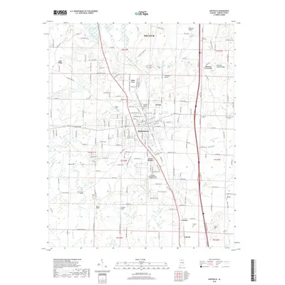
2018 Map of Hartselle
USGS Topo · Published 2018About this map
The city of Hartselle serves as the central hub of this Morgan County landscape, situated along the CSX Transportation railroad corridor. The area is defined by a dense network of watercourses including Flint Creek, Shoal Cr, and Village Br, which flow through various bottomlands like Rountree Bottom. Local topography is highlighted by landmarks such as Aiken Mtn and the unique Hartselle Natural Bridge near Clemons Crossroad.
Find a feature on this map
210 named features on this map. Tap any name to fly to it.
Don’t see what you’re looking for? This feature index may not catch every label — zoom into the map to look around manually.
Map Details
Editions of this 2018 Hartselle Map
This is the sole edition of this map. No revisions or reprints were ever made.
Other maps of this area

1888 · Cullman
USGS Topo · 1:125,000

1888 · Huntsville
USGS Topo · 1:125,000

1892 · Cullman
USGS Topo · 1:125,000

1892 · Huntsville
USGS Topo · 1:125,000

1927 · Falkville
USGS Topo · 1:24,000

1935 · Danville
USGS Topo · 1:48,000

1936 · Mc Kendry
USGS Topo · 1:24,000

1936 · Hartselle
USGS Topo · 1:24,000

1936 · Decatur
USGS Topo · 1:24,000

1936 · Trinity
USGS Topo · 1:24,000