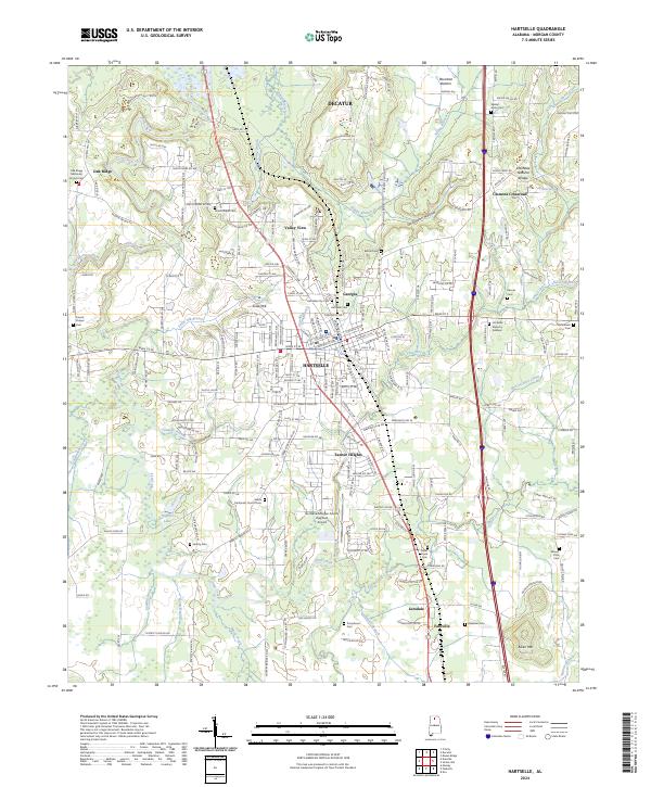
2024 Map of Hartselle
USGS Topo · Published 2024About this map
Hartselle serves as the central hub of this North Alabama landscape, where the street grid of the city gives way to a complex network of creeks and rural family settlements. To the north, the Wheeler National Wildlife Refuge marks the edge of the Tennessee River valley, while the southern reaches transition into the foothills of Aiken Mtn. The terrain is deeply etched by Flint Creek and its many tributaries like Tunselle Branch and Sandlin Branch, creating the bottomlands of Rountree Bottom. Local history is anchored by a significant number of rural cemeteries and country churches, such as Oak Ridge Methodist Church and the Salem Methodist Church. A notable geological feature, the Hartselle Natural Bridge, sits tucked away near Clemons Crossroad, illustrating the area's distinctive sandstone topography.
Find a feature on this map
223 named features on this map. Tap any name to fly to it.
Don’t see what you’re looking for? This feature index may not catch every label — zoom into the map to look around manually.
Map Details
Editions of this 2024 Hartselle Map
This is the sole edition of this map. No revisions or reprints were ever made.
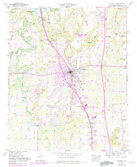
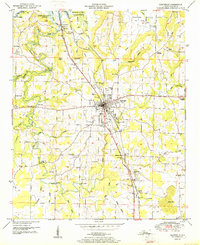
Historical Maps of Clemons Crossroad Through Time
4 maps found