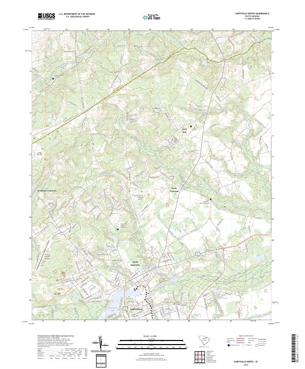
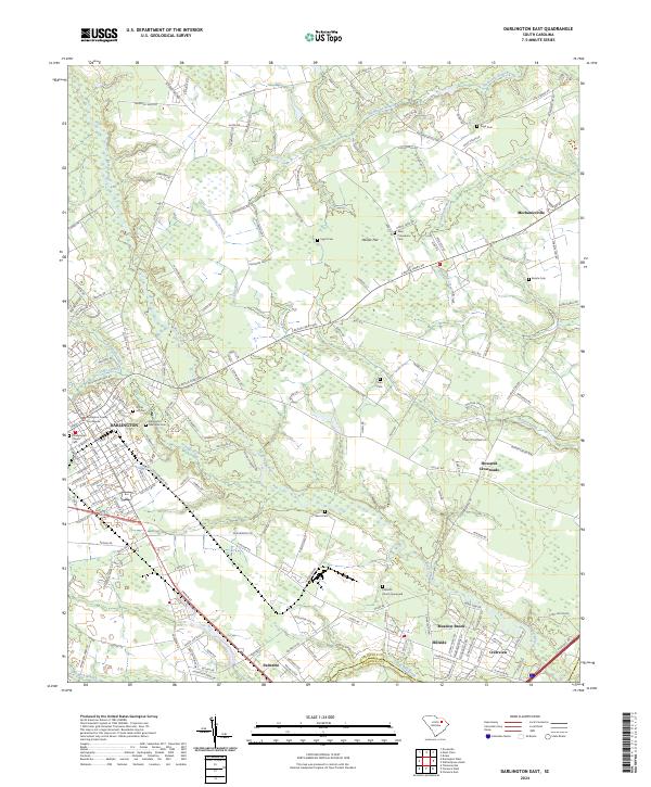
2024 Map of Hartsville North
USGS Topo · Published 2024About this map
Hartsville and its northern surroundings are defined by a complex network of wetlands and tributaries that feed the local economy and geography. The waters of Black Creek flow past North Hartsville, while Prestwood Lake and the smaller Lake Anthony anchor the residential landscape. For genealogists and local historians, the area is rich with family-named waypoints and spiritual centers such as Damascus Church Graveyard and Chapel Hill Church Graveyard. Evidence of early industrial and agricultural foundations persists in features like the Old Kilgore Millpond.
Find a feature on this map
149 named features on this map. Tap any name to fly to it.
Don’t see what you’re looking for? This feature index may not catch every label — zoom into the map to look around manually.
Map Details
Editions of this 2024 Hartsville North Map
This is the sole edition of this map. No revisions or reprints were ever made.
Historical Maps of Fox Hollow Through Time
12 maps found
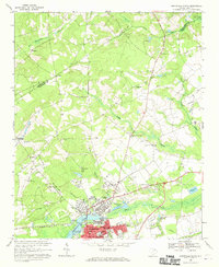
1963 Darlington East
Darlington County, SC
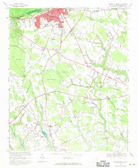
1963 Darlington West
Darlington County, SC
1963 Mont Clare
Darlington County, SC
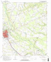
1968 Hartsville North
Darlington County, SC
1968 Hartsville South
Darlington County, SC
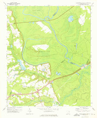
1972 Witherspoon Island
Darlington County, SC
2024 Darlington East
Darlington County, SC
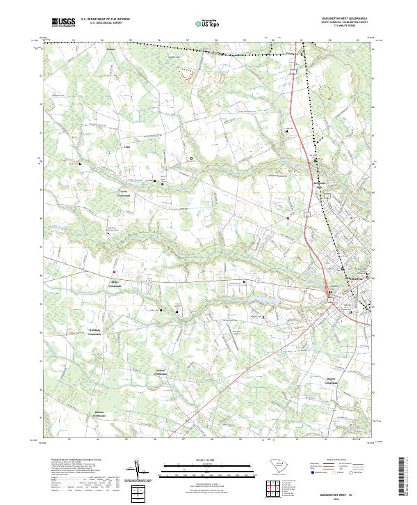
2024 Darlington West
Darlington County, SC
2024 Hartsville North
Darlington County, SC
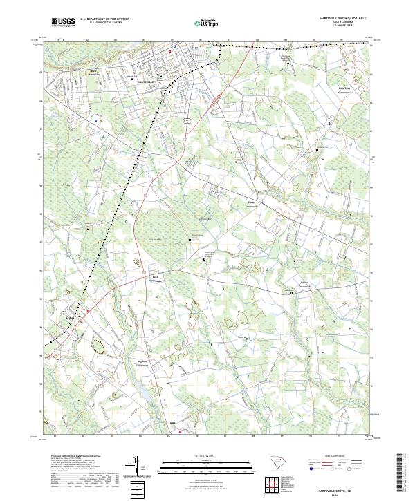
2024 Hartsville South
Darlington County, SC
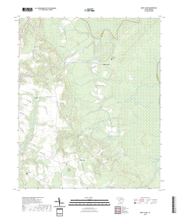
2024 Mont Clare
Darlington County, SC
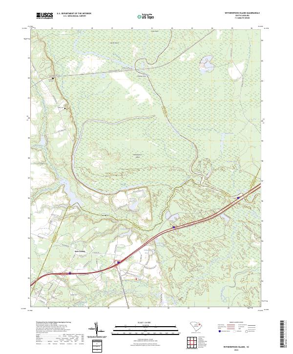
2024 Witherspoon Island
Darlington County, SC