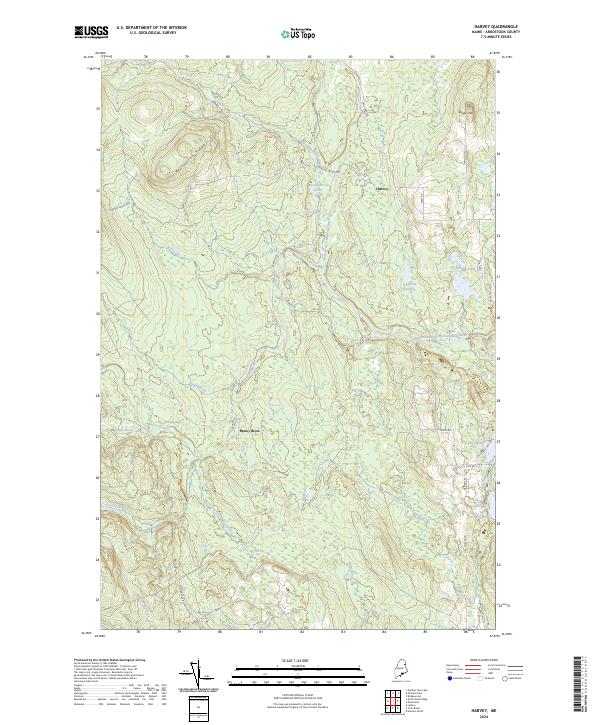
2024 Map of Harvey
USGS Topo · Published 2024About this map
North Branch Meduxnekeag River snakes through the center of this Aroostook County landscape, defining the drainage patterns for a network of brooks including Big Brook, Larry Brook, and Meadow Brook. The terrain is characterized by prominent rises such as Wellington Ridge in the northwest and Morey Brow further south, while Sugar Loaf stands near the eastern boundary. These elevations are interspersed with small, remote water bodies like Alerton Lake, Deep Lake, and Conroy Lake.
Find a feature on this map
37 named features on this map. Tap any name to fly to it.
Don’t see what you’re looking for? This feature index may not catch every label — zoom into the map to look around manually.
Map Details
Editions of this 2024 Harvey Map
This is the sole edition of this map. No revisions or reprints were ever made.
Other maps of this area
1934 · Bridgewater
USGS Topo · 1:48,000
1935 · Howe Brook
USGS Topo · 1:48,000
1937 · Smyrna Mills
USGS Topo · 1:62,500
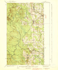
1938 · Bridgewater
USGS Topo · 1:62,500
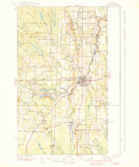
1938 · Houlton
USGS Topo · 1:62,500
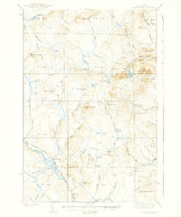
1939 · Howe Brook
USGS Topo · 1:62,500
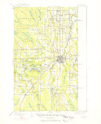
1951 · Houlton
USGS Topo · 1:62,500
1951 · Bridgewater
USGS Topo · 1:62,500
1953 · Bridgewater
USGS Topo · 1:50,000
1954 · Howe Brook
USGS Topo · 1:62,500