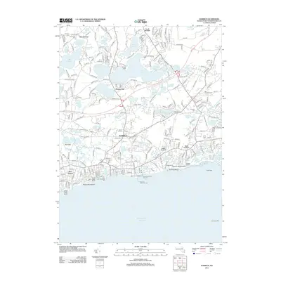
2012 Map of Harwich
USGS Topo · Published 2012About this map
Stony Brook Mill and the surrounding kettle ponds define the hydraulic and industrial history of this Barnstable County coastline. The landscape is a dense network of freshwater bodies like Long Pond and Hinckleys Pond that feed into the Herring River as it winds south toward Bells Neck. These water resources supported early industry and later coastal development, visible in the cluster of settlements from West Brewster in the north to the village center of Harwich and the seaside communities of West Harwich and South Chatham.
Find a feature on this map
259 named features on this map. Tap any name to fly to it.
Don’t see what you’re looking for? This feature index may not catch every label — zoom into the map to look around manually.
Map Details
Editions of this 2012 Harwich Map
This is the sole edition of this map. No revisions or reprints were ever made.
Other maps of this area

1887 · Wellfleet
USGS Topo · 1:62,500

1887 · Yarmouth
USGS Topo · 1:62,500

1888 · Chatham
USGS Topo · 1:62,500

1889 · Yarmouth
USGS Topo · 1:62,500

1889 · Wellfleet
USGS Topo · 1:62,500

1893 · Chatham
USGS Topo · 1:62,500

1893 · Yarmouth
USGS Topo · 1:62,500

1893 · Wellfleet
USGS Topo · 1:62,500

1917 · Chatham
USGS Topo · 1:62,500

1942 · Cape Cod Bay
USGS Topo · 1:125,000