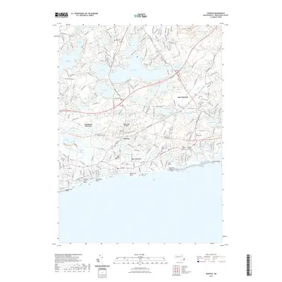
2021 Map of Harwich
USGS Topo · Published 2021About this map
The coastal village of Harwich Port and the inland hub of Harwich Center anchor this detailed study of the lower Cape Cod landscape. The area is defined by a complex network of freshwater ponds, including the expansive Long Pond, Seymour Pond, and Hinckleys Pond, which contrast with the salt marshes of the Herring River and Quivett Creek Marshes. Several family-named landmarks and historical burial grounds provide a clear record of local lineage, such as the Eldredge Family Cem and Dillingham Cem.
Find a feature on this map
222 named features on this map. Tap any name to fly to it.
Don’t see what you’re looking for? This feature index may not catch every label — zoom into the map to look around manually.
Map Details
Editions of this 2021 Harwich Map
This is the sole edition of this map. No revisions or reprints were ever made.
Other maps of this area

1887 · Wellfleet
USGS Topo · 1:62,500

1887 · Yarmouth
USGS Topo · 1:62,500

1888 · Chatham
USGS Topo · 1:62,500

1889 · Yarmouth
USGS Topo · 1:62,500

1889 · Wellfleet
USGS Topo · 1:62,500

1893 · Chatham
USGS Topo · 1:62,500

1893 · Yarmouth
USGS Topo · 1:62,500

1893 · Wellfleet
USGS Topo · 1:62,500

1917 · Chatham
USGS Topo · 1:62,500

1942 · Cape Cod Bay
USGS Topo · 1:125,000