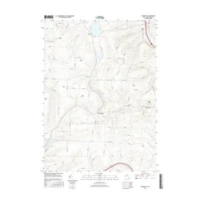
2016 Map of Haskinville
USGS Topo · Published 2016About this map
Haskinville and Greenville anchor this northern Steuben County landscape, where the terrain is defined by a series of prominent rises including Bronson Hill, Potter Hill, and Maple Hill. The area's agricultural and rural character is preserved through a high density of local burial grounds, ranging from the Zion Lutheran Cem near the Cohocton River to the Haskinville Cem situated centrally within the settlement.
Find a feature on this map
99 named features on this map. Tap any name to fly to it.
Don’t see what you’re looking for? This feature index may not catch every label — zoom into the map to look around manually.
Map Details
Editions of this 2016 Haskinville Map
This is the sole edition of this map. No revisions or reprints were ever made.
Other maps of this area

1900 · Naples
USGS Topo · 1:62,500

1902 · Wayland
USGS Topo · 1:62,500

1903 · Naples
USGS Topo · 1:62,500

1904 · Wayland
USGS Topo · 1:62,500

1910 · Bath
USGS Topo · 1:62,500

1913 · Naples
USGS Topo · 1:62,500

1915 · Hornell
USGS Topo · 1:62,500

1918 · Hornell
USGS Topo · 1:62,500

1942 · Wayland
USGS Topo · 1:31,680

1942 · Naples
USGS Topo · 1:31,680