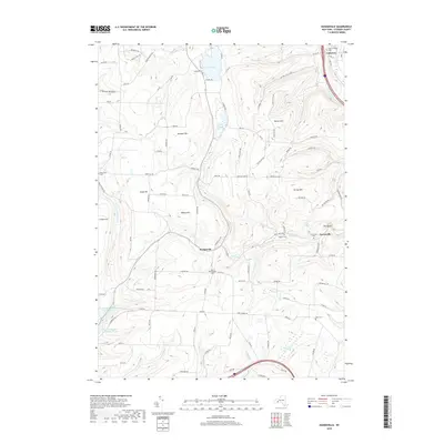
2019 Map of Haskinville
USGS Topo · Published 2019About this map
Haskinville and the surrounding Finger Lakes-region highlands are defined by a landscape of elevated ridges and deeply cut creek valleys. Settlement is clustered primarily in the narrow corridors of Neils Cr and the Cohocton River, where the village of Cohocton serves as a local hub. The upland terrain is marked by numerous family and community landmarks, including several high-elevation burial grounds like Mount Pleasant Cem and Parkhill Cem. Water resources are a prominent theme across this landscape, from the recreation-oriented shores of Loon Lake and its Lakeside Cem to the municipal infrastructure of Hornell Reservoir Number Two and Hornell Reservoir Number Three in the southwest corner. The map also captures several distinct geological features such as The Rocks and the marshy expanse of Spaulding Swamp, illustrating the varied glacial topography of Steuben County.
Find a feature on this map
102 named features on this map. Tap any name to fly to it.
Don’t see what you’re looking for? This feature index may not catch every label — zoom into the map to look around manually.
Map Details
Editions of this 2019 Haskinville Map
This is the sole edition of this map. No revisions or reprints were ever made.
Other maps of this area

1900 · Naples
USGS Topo · 1:62,500

1902 · Wayland
USGS Topo · 1:62,500

1903 · Naples
USGS Topo · 1:62,500

1904 · Wayland
USGS Topo · 1:62,500

1910 · Bath
USGS Topo · 1:62,500

1913 · Naples
USGS Topo · 1:62,500

1915 · Hornell
USGS Topo · 1:62,500

1918 · Hornell
USGS Topo · 1:62,500

1942 · Wayland
USGS Topo · 1:31,680

1942 · Naples
USGS Topo · 1:31,680