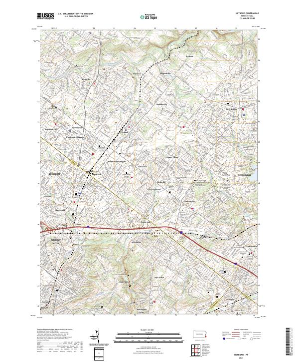
2023 Map of Hatboro
USGS Topo · Published 2023About this map
Bryn Athyn College and the surrounding neighborhoods of Bryn Athyn and Paper Mills anchor the southern portion of this modern survey, where the convergence of Bucks Co and Montgomery Co defines the local geography. The landscape is a dense network of suburban development and historical sites, notably marked by an extensive collection of burial grounds such as the Old School Baptist Meeting House Cem and the Craven VanSant Burying Grounds. This area, including the borough of Hatboro and the township of Warminster, maintains a high density of religious and educational landmarks despite its thorough urbanization.
Find a feature on this map
73 named features on this map. Tap any name to fly to it.
Don’t see what you’re looking for? This feature index may not catch every label — zoom into the map to look around manually.
Map Details
Editions of this 2023 Hatboro Map
This is the sole edition of this map. No revisions or reprints were ever made.
Other maps of this area

1890 · Lambertville
USGS Topo · 1:62,500

1890 · Doylestown
USGS Topo · 1:62,500

1890 · Burlington
USGS Topo · 1:62,500

1891 · Lambertville
USGS Topo · 1:62,500

1891 · Doylestown
USGS Topo · 1:62,500

1893 · Germantown
USGS Topo · 1:62,500

1893 · Burlington
USGS Topo · 1:62,500

1894 · Lambertville
USGS Topo · 1:62,500

1894 · Germantown
USGS Topo · 1:62,500

1896 · Germantown
USGS Topo · 1:62,500
Featured Places
- Philadelphia, PA
- Abington Township, PA
- Warminster Township, PA
- Horsham Township, PA
- Warrington Township, PA