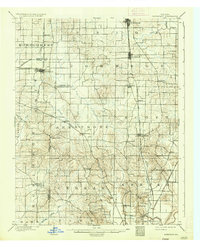
1903 Map of Haubstadt
USGS Topo · Published 1935About this map
Ft. Branch and Haubstadt anchor the northern reaches of this turn-of-the-century landscape, where the agricultural plains of Gibson, Vanderburgh, and Posey counties intersect. The region's economy at this time is clearly defined by its dense rail network, with the Evansville and Terre Haute R. R. and the Illinois Central R. R. cutting through the terrain to connect small settlements like Cynthiana and Staser.
Find a feature on this map
49 named features on this map. Tap any name to fly to it.
Don’t see what you’re looking for? This feature index may not catch every label — zoom into the map to look around manually.
Map Details
Editions of this 1903 Haubstadt Map
2 editions found
Other maps of this area

1901 · Princeton
USGS Topo · 1:62,500

1901 · Haubstadt
USGS Topo · 1:62,500

1902 · Ditney
USGS Topo · 1:125,000

1902 · Boonville
USGS Topo · 1:62,500

1903 · Haubstadt
USGS Topo · 1:62,500

1903 · New Harmony
USGS Topo · 1:62,500

1903 · Petersburg
USGS Topo · 1:62,500

1903 · Princeton
USGS Topo · 1:62,500

1903 · Patoka
USGS Topo · 1:125,000

1904 · Mount Carmel
USGS Topo · 1:62,500