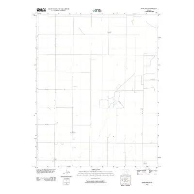
2009 Map of Haviland NE
USGS Topo · Published 2009About this map
The agricultural landscape of Kiowa County is defined by a rigorous section-line grid of rural roads and scattered landmarks of family and community history. In this 2009 survey, the northeast corner of Haviland is characterized by the Fruit Oil and Gas Field, indicating the importance of energy extraction in this part of the Kansas plains. The area is anchored by several burial grounds that serve as critical points for genealogical research, including Providence Cemetery in the north and Wellsford Cemetery in the southeast corner. Transportation is primarily managed through a system of county roads such as Co Rd 51 and Nw 160th Ave, while more rugged passage is found along the Jeep Trl, which winds through the intermittent drainage patterns of the local terrain.
Find a feature on this map
12 named features on this map. Tap any name to fly to it.
Don’t see what you’re looking for? This feature index may not catch every label — zoom into the map to look around manually.
Map Details
Editions of this 2009 Haviland NE Map
This is the sole edition of this map. No revisions or reprints were ever made.
Other maps of this area

1889 · Kinsley
USGS Topo · 1:125,000

1892 · Kinsley
USGS Topo · 1:125,000

1892 · Pratt
USGS Topo · 1:125,000

1894 · Kinsley
USGS Topo · 1:125,000

1894 · Pratt
USGS Topo · 1:125,000

1955 · Pratt
USGS Topo · 1:250,000

1959 · Pratt
USGS Topo · 1:250,000

1968 · Cullison
USGS Topo · 1:24,000

1968 · Haviland NW
USGS Topo · 1:24,000

1968 · Haviland
USGS Topo · 1:24,000