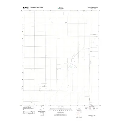
2012 Map of Haviland NE
USGS Topo · Published 2012About this map
The agricultural grid of Kiowa County dominates this 2012 survey, revealing the persistent patterns of rural Kansas life. Scattered across the section lines are several family and community landmarks, including Providence Cem, Haviland Cem, and Wellsford Cem, which serve as vital points of reference for genealogists tracking early settlers in the region. The landscape is primarily defined by its intersecting section roads like CO Hwy-53 and NW 150th Ave, yet it also contains specific industrial and natural deviations. The Fruit Oil and Gas Field indicates the subsurface resource economy that operates alongside traditional farming, while Lost Lake provides a rare hydrologic feature in this otherwise dry upland. The map documents the enduring infrastructure of the Kansas prairie, from the precise road alignments to the quiet, established burial grounds that anchor the rural townships.
Find a feature on this map
14 named features on this map. Tap any name to fly to it.
Don’t see what you’re looking for? This feature index may not catch every label — zoom into the map to look around manually.
Map Details
Editions of this 2012 Haviland NE Map
This is the sole edition of this map. No revisions or reprints were ever made.
Other maps of this area

1889 · Kinsley
USGS Topo · 1:125,000

1892 · Kinsley
USGS Topo · 1:125,000

1892 · Pratt
USGS Topo · 1:125,000

1894 · Kinsley
USGS Topo · 1:125,000

1894 · Pratt
USGS Topo · 1:125,000

1955 · Pratt
USGS Topo · 1:250,000

1959 · Pratt
USGS Topo · 1:250,000

1968 · Cullison
USGS Topo · 1:24,000

1968 · Haviland NW
USGS Topo · 1:24,000

1968 · Haviland
USGS Topo · 1:24,000