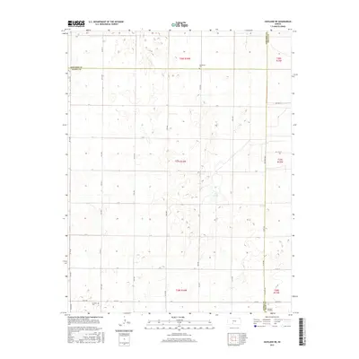
2015 Map of Haviland NE
USGS Topo · Published 2015About this map
The intersection of Edwards, Pratt, and Kiowa counties defines this quiet section of the Kansas plains, where the landscape is organized by a precise grid of rural roads and section lines. Rural life centers on the sparsely distributed landmarks of the prairie, including the Haviland Cem and Wellsford Cemetery in the southern reaches, and Providence Cem to the north. The terrain is marked by numerous depressions and wetlands typical of the region, most notably the ephemeral Lost Lake. Movement through the area relies on a network of avenues and streets, such as KC 49 Ave and NW 150th Ave, while more rugged paths like the Jeep Trl suggest the undeveloped nature of the interior sections. This survey captures a moment of modern agricultural continuity, preserving the locations of family burial grounds and small water bodies that remain central to the local geography.
Find a feature on this map
44 named features on this map. Tap any name to fly to it.
Don’t see what you’re looking for? This feature index may not catch every label — zoom into the map to look around manually.
Map Details
Editions of this 2015 Haviland NE Map
This is the sole edition of this map. No revisions or reprints were ever made.
Other maps of this area

1889 · Kinsley
USGS Topo · 1:125,000

1892 · Kinsley
USGS Topo · 1:125,000

1892 · Pratt
USGS Topo · 1:125,000

1894 · Kinsley
USGS Topo · 1:125,000

1894 · Pratt
USGS Topo · 1:125,000

1955 · Pratt
USGS Topo · 1:250,000

1959 · Pratt
USGS Topo · 1:250,000

1968 · Cullison
USGS Topo · 1:24,000

1968 · Haviland NW
USGS Topo · 1:24,000

1968 · Haviland
USGS Topo · 1:24,000