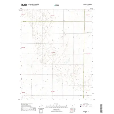
2018 Map of Haviland NE
USGS Topo · Published 2018About this map
Lost Lake sits at the center of this section of the High Plains, where the border of Edwards and Kiowa counties meets. The landscape is defined by a dense network of depressions and seasonal basins typical of this part of Kansas, crisscrossed by a rigid grid of section roads like 55th Ave and E St. For those tracing local history, several burial sites are preserved across these townships, including Providence Cem near the northern boundary and both Haviland Cem and Wellsford Cem along the southern edge. The map also captures an interesting mix of transportation, from established routes like KC H Ave to the more rugged Jeep Trl winding through the terrain east of the lake.
Find a feature on this map
41 named features on this map. Tap any name to fly to it.
Don’t see what you’re looking for? This feature index may not catch every label — zoom into the map to look around manually.
Map Details
Editions of this 2018 Haviland NE Map
This is the sole edition of this map. No revisions or reprints were ever made.
Other maps of this area

1889 · Kinsley
USGS Topo · 1:125,000

1892 · Kinsley
USGS Topo · 1:125,000

1892 · Pratt
USGS Topo · 1:125,000

1894 · Kinsley
USGS Topo · 1:125,000

1894 · Pratt
USGS Topo · 1:125,000

1955 · Pratt
USGS Topo · 1:250,000

1959 · Pratt
USGS Topo · 1:250,000

1968 · Cullison
USGS Topo · 1:24,000

1968 · Haviland NW
USGS Topo · 1:24,000

1968 · Haviland
USGS Topo · 1:24,000