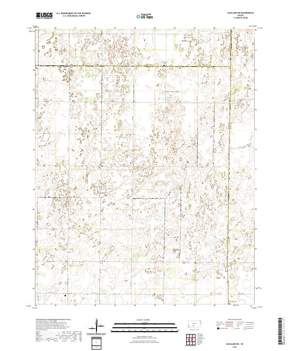
2022 Map of Haviland NE
USGS Topo · Published 2022About this map
The borderlands of Kiowa, Edwards, and Pratt counties are mapped here, showcasing a sparse agricultural landscape defined by its section-line road network. The terrain is marked by subtle depressions, most notably Lost Lake, a natural water feature in an otherwise dry prairie landscape. This 2022 survey documents the persistent rural character of south-central Kansas, where local history is preserved in small communal spaces such as Providence Cem in the north and Wellsford Cem in the southeast. A grid of county roads, including Co RD 51 and 53rd Ave, segments the land into the traditional township and range system. In the southern portion of the sheet, the Haviland Cem serves as a grounded landmark for researchers tracing family history near the regional boundaries. The map provides a clear look at the enduring geometry of Kansas farmland and the few named features that anchor its local geography.
Find a feature on this map
47 named features on this map. Tap any name to fly to it.
Don’t see what you’re looking for? This feature index may not catch every label — zoom into the map to look around manually.
Map Details
Editions of this 2022 Haviland NE Map
This is the sole edition of this map. No revisions or reprints were ever made.
Other maps of this area

1889 · Kinsley
USGS Topo · 1:125,000

1892 · Kinsley
USGS Topo · 1:125,000

1892 · Pratt
USGS Topo · 1:125,000

1894 · Kinsley
USGS Topo · 1:125,000

1894 · Pratt
USGS Topo · 1:125,000

1955 · Pratt
USGS Topo · 1:250,000

1959 · Pratt
USGS Topo · 1:250,000

1968 · Cullison
USGS Topo · 1:24,000

1968 · Haviland NW
USGS Topo · 1:24,000

1968 · Haviland
USGS Topo · 1:24,000