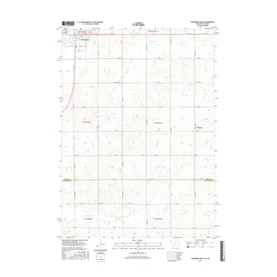
2015 Map of Hawarden South
USGS Topo · Published 2015About this map
Hawarden serves as the primary hub in this Iowa landscape, where the rectilinear grid of the Public Land Survey System defines the organization of agricultural life. The map details the transition between Sioux and Plymouth counties, marked by the east-west line of 510th St. A dense network of alphabetically named roads, such as Birch Ave, Cherry Ave, and Dogwood Ave, provides access to the interior sections.
Find a feature on this map
40 named features on this map. Tap any name to fly to it.
Don’t see what you’re looking for? This feature index may not catch every label — zoom into the map to look around manually.
Map Details
Editions of this 2015 Hawarden South Map
This is the sole edition of this map. No revisions or reprints were ever made.
Other maps of this area

1897 · Canton
USGS Topo · 1:125,000

1898 · Elk Point
USGS Topo · 1:125,000

1900 · Canton
USGS Topo · 1:125,000

1901 · Elk Point
USGS Topo · 1:125,000

1907 · Elk Point
USGS Topo · 1:125,000

1955 · Sioux City
USGS Topo · 1:250,000

1955 · Sioux Falls
USGS Topo · 1:250,000

1958 · Sioux City
USGS Topo · 1:250,000

1958 · Sioux Falls
USGS Topo · 1:250,000

1959 · Sioux City
USGS Topo · 1:250,000