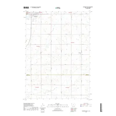
2018 Map of Hawarden South
USGS Topo · Published 2018About this map
Hawarden serves as the primary municipal center in the northwest corner of this quadrangle, situated near the winding course of Sixmile Cr. The landscape transitions from the gridded streets of the town into a sprawling agricultural checkerboard defined by rural routes like Co Hwy B58 and Co Rd K22. Further east, the small settlement of McNally sits along 490th St, providing a localized point of interest for researchers of rural Sioux County communities.
Find a feature on this map
31 named features on this map. Tap any name to fly to it.
Don’t see what you’re looking for? This feature index may not catch every label — zoom into the map to look around manually.
Map Details
Editions of this 2018 Hawarden South Map
This is the sole edition of this map. No revisions or reprints were ever made.
Other maps of this area

1897 · Canton
USGS Topo · 1:125,000

1898 · Elk Point
USGS Topo · 1:125,000

1900 · Canton
USGS Topo · 1:125,000

1901 · Elk Point
USGS Topo · 1:125,000

1907 · Elk Point
USGS Topo · 1:125,000

1955 · Sioux City
USGS Topo · 1:250,000

1955 · Sioux Falls
USGS Topo · 1:250,000

1958 · Sioux City
USGS Topo · 1:250,000

1958 · Sioux Falls
USGS Topo · 1:250,000

1959 · Sioux City
USGS Topo · 1:250,000