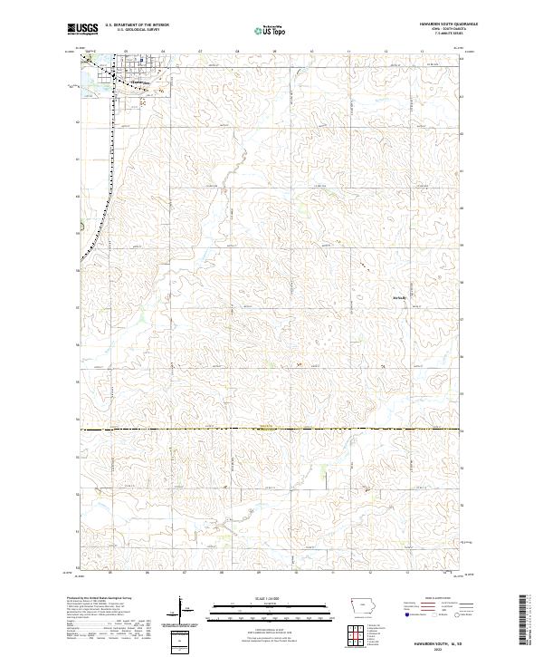
2022 Map of Hawarden South
USGS Topo · Published 2022About this map
Hawarden sits at the northern edge of this landscape, where the street grid of the town meets the sprawling agricultural lands of the Sioux and Plymouth county line. This 2022 survey captures the modern section-line road network and the natural drainages that define the area's topography, including Sixmile Cr and Spring Cr flowing through the northern reaches. To the east, the small settlement of McNally remains a point of interest for local historians, situated along 490th St.
Find a feature on this map
32 named features on this map. Tap any name to fly to it.
Don’t see what you’re looking for? This feature index may not catch every label — zoom into the map to look around manually.
Map Details
Editions of this 2022 Hawarden South Map
This is the sole edition of this map. No revisions or reprints were ever made.
Other maps of this area

1897 · Canton
USGS Topo · 1:125,000

1898 · Elk Point
USGS Topo · 1:125,000

1900 · Canton
USGS Topo · 1:125,000

1901 · Elk Point
USGS Topo · 1:125,000

1907 · Elk Point
USGS Topo · 1:125,000

1955 · Sioux City
USGS Topo · 1:250,000

1955 · Sioux Falls
USGS Topo · 1:250,000

1958 · Sioux City
USGS Topo · 1:250,000

1958 · Sioux Falls
USGS Topo · 1:250,000

1959 · Sioux City
USGS Topo · 1:250,000